Health & Fitness
Hazardous Weather Outlook Issued For Pass Over Weekend to Next Week With Thunderstorms Likely
The Southern California Weather Authority has issued a Hazardous Weather Outlook (HWO) effective this later week, this weekend, and into early next week.
A storm system that has retrograded all the way from the Northeastern United States last weekend is approaching New Mexico. This storm system has a lot of moisture and upper level dynamics with it so an increase in shower and thunderstorm activity after Thursday look about right for the mountain/desert zones … with the entire forecast area (including the metro zones) getting shower and thunderstorms this weekend into early next week.
Current progs indicate the closed low will turn into an upper level easterly wave this weekend, finally coming into Southern California. This was the previous Hazardous Weather Outlook however one thing I missed was HWO products do not go out until 3-5 days before an event, that one was seven days. The timing changed and this is the official outlook and confidence is remaining high that the pattern will come in as expected.
Find out what's happening in Banning-Beaumontwith free, real-time updates from Patch.
So no matter where you are in Southern California, showers and thunderstorms will hit during the period. More details will be available when the Special Weather Statement is issued later on Thursday or Friday.
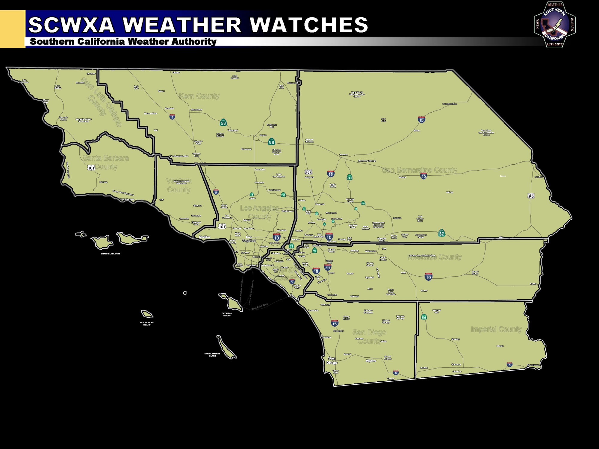
The SCWXA Forecast Product is a specialty product issued by Southern California Weather Authority.com - Southern California's Public Choice for Weather Alerts.
Find out what's happening in Banning-Beaumontwith free, real-time updates from Patch.
For SCWXA Facebook Visit - https://www.facebook.com/SouthernCaliforniaWeatherAuthority
Get SCWXA Weather alerts via email for FREE - http://www.southerncaliforniaweatherauthority.com/e-mailed-alerts/


