Health & Fitness
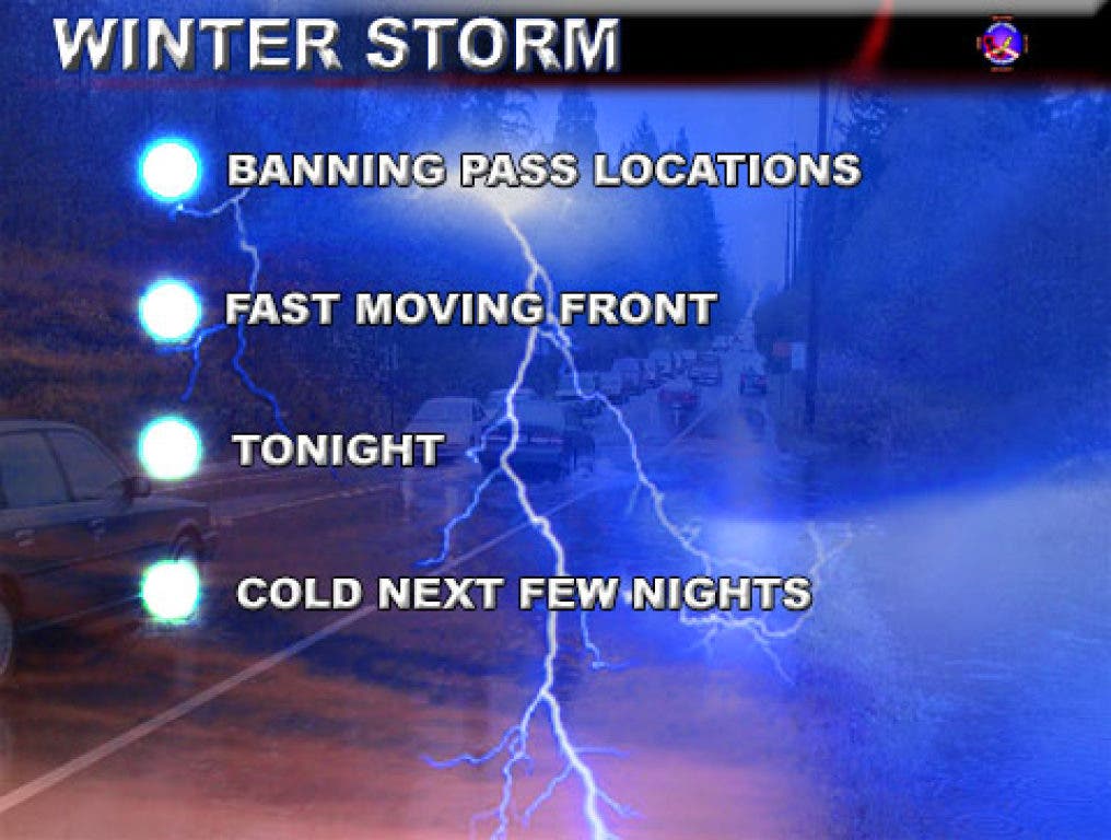
Thunderstorms with Hail and Snow Threaten Pass Area Tonight
Thunderstorms with hail and snow would be likely tonight. A SCWXA Winter Weather Advisory is in effect.
As previous entry stated, thunderstorms with hail and snow would be likely on Tuesday. Well it is Tuesday and there are products active at Southern California Weather Authority.com. A SCWXA Winter Weather Advisory is in effect.
Issued yesterday, the SCWXA Winter Weather Advisory product was issued for the snow levels going to 2,000 feet with this storm system, which will put snow at pass levels. Snow will be possible, with hail and lightning tonight.
The frontal zone is nearing Santa Barbara now. This is still pretty far away, and judging by the motion, we are still four to five hours out, with a hit possibly by 9-10pm local time at the pass.
Judging by how fast the storm is moving, we could see a dusting to a couple inches out on the pass tonight with the passage of the front.
The next few nights will be very cold as the colder/drier air filters in behind the parent storm through the rest of the week and freeze or frost products will need to be issued.
The SCWXA Forecast Product is a specialty product issued by Southern California Weather Authority.com - Southern California's Public Choice for Weather Alerts.
For SCWXA Facebook Visit - https://www.facebook.com/SouthernCaliforniaWeatherAuthority
Get SCWXA Weather alerts via email - http://www.southerncaliforniaweatherauthority.com/emaillist.html

