Community Corner
Showers, Thunderstorms Possible in the Pass Late Wednesday Thru Early Friday
High temps on Thursday were expected to be about 10 degrees cooler than average at lower elevations, and 20 degrees cooler than average in the mountains and inland valleys.

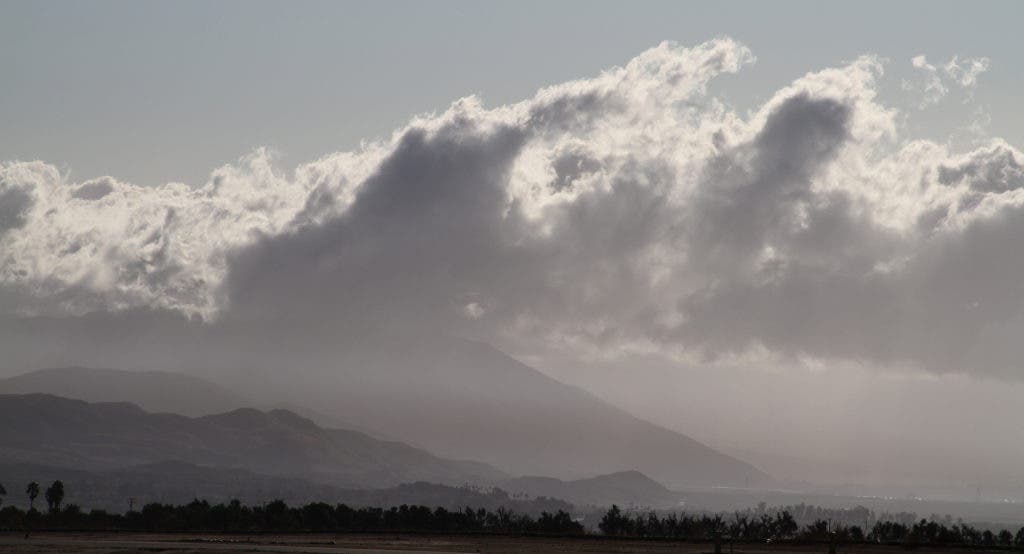

A week after a spell of triple-digit, dry heat contributed to fire-prone conditions in the San Gorgonio Pass, forecasters say showers, thunderstorms and light snow at higher elevations are possible late Wednesday through early Friday.
Overnight lows Tuesday to Wednesday from Beaumont to Cabazon were expected to range from the low 50s to high 50s, with daytime highs Wednesday from 70 to 80, according to the National Weather Service.
Thursday is expected 10 degrees cooler, with daytime highs in the Pass ranging from 60 to 70, and a 70 percent chance of thunderstorms, according to the Weather Service.
Find out what's happening in Banning-Beaumontwith free, real-time updates from Patch.
A half inch of rain could fall in the mountains on both sides of the Pass, with small hail and gusting winds possible with thunderstorms.
Snow levels in the mountains could fall to 6,500 feet by Thursday evening, with "a few inches" possible on higher peaks, according to the Weather Service.
Find out what's happening in Banning-Beaumontwith free, real-time updates from Patch.
High temps on Thursday were expected to be about 10 degrees cooler than average at lower elevations, and 20 degrees cooler than average in the mountains and inland valleys.
"This is a sharp contrast to early last week when high temperatures were 10 to 15 degrees above average and locally 20 degrees above average," the Weather Service advised.
The dry heat contributed to conditions that fueled the Range Fire in the San Jacinto Mountains south of Banning Sept. 29-30. There was also a house fire on Williams Street and a palm tree fire next to Interstate 10, both in Banning on Oct. 1.
Warmer, drier weather is expected for the weekend and early next week.
Follow Banning-Beaumont Patch on Twitter and Facebook, and sign up for the free daily newsletter here.
Get more local news delivered straight to your inbox. Sign up for free Patch newsletters and alerts.

